Maps of North Meols
Maps of North Meols
Below are a selection of extracts from historical maps which highlight the way the area of North Meols has changed over the centuries.
Click on an image to see a larger version (opens in new window)
Saxton, 1577
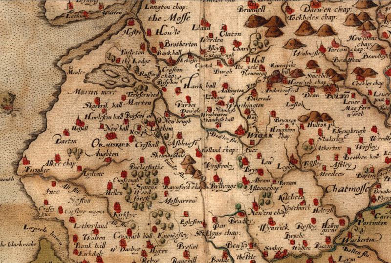
Christopher Saxton was the first great map-maker of England. Thomas Seckford, a wealthy Suffolk lawyer, financed Christopher Saxton’s plan to survey and map all the counties of England and Wales. Queen Elizabeth gave the project her blessing and the Privy Council issued instructions that he was to be given every assistance. Saxton produced the first map in 1574 and the series of 34 county maps was complete five years later. The maps of Christopher Saxton remained in use for 200 years.
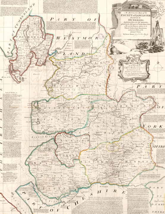
Lancashire County Maps, 1695 and 1831
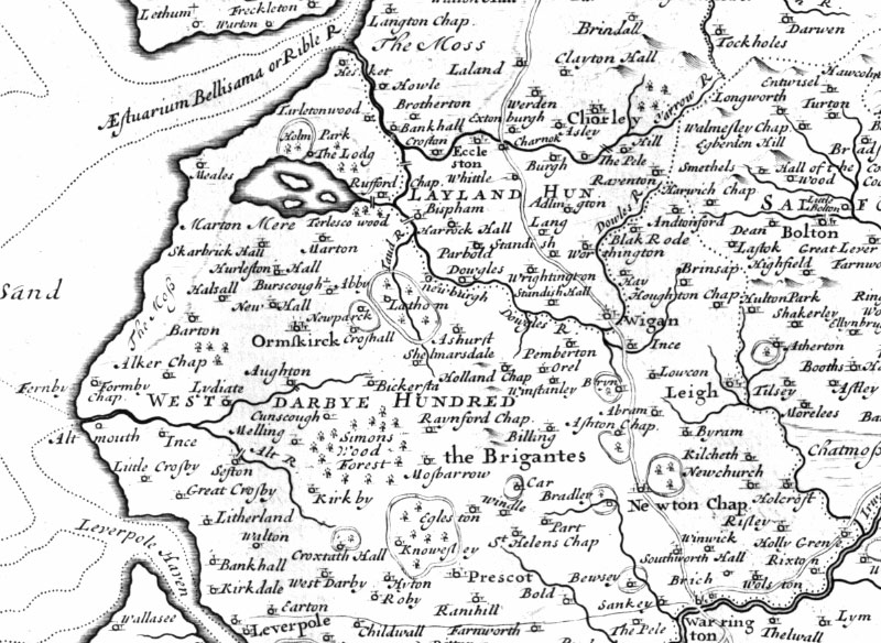
Bowden, 1752
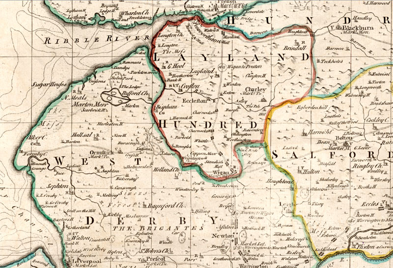
This Map of Lancashire was the largest produced up to that time. The map looks to be more detailed and modern but it still uses the basic survey of Saxton almost 200 years earlier
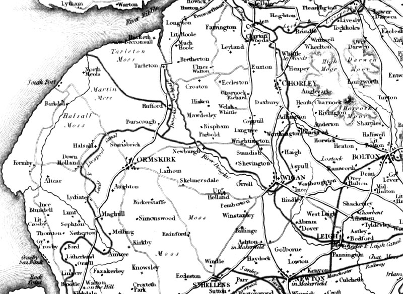
Yates, 1786
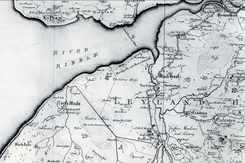
The Yates map of Lancashire shows borough and market towns, villages, hamlets, churches, chapels, gentleman’s seats. It was published in 1786 on eight sheets at a cost of one and a half guineas or £2 7s coloured. William Yates was a customs officer and surveyor in Liverpool.
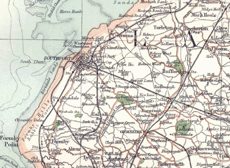
Bartholomews Atlas, 1898
Southport Street Map (North) circa 1911
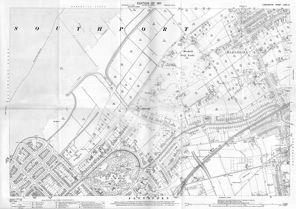
Taken from one of a series of old OS maps reprinted by Alan Godfrey Maps. This and others are available from http://www.alangodfreymaps.co.uk/sefton.htm
Southport Street Map (North) circa 1960
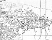
Extract from a street map of Southport published around 1960, prior to the redevelopment of the Marshside area. The map shows the pre-Beeching Churchtown and Crossens railway stations.