A Brief History of North Meols
North Meols
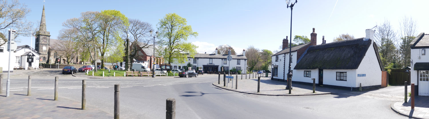
Following the Norman invasion, the lands around North Meols were passed on to William De Coudrey, who’s son, Robert, built the first Manor House in the parish - now Meols Hall. At this time the parish of North Meols consisted of a narrow strip of arable land and meadows, bounded by the sea to the west and north, and by Martin Mere to the east (Martin Mere was an expanse of water which has since been drained for use as agricultural land). This meant that the area was fairly isolated and cut off from inland districts. Development was therefore slow and gradual as the inhabitants eked out a meagre living from the sea and the land, living in clamshaft and daub cottages clustered around the south wall of the Church. This small cluster of cottages eventually became known as Church Town.
A gradual process of land reclamation has been under way since the very early days using embankments and sea cops’. The first of these embankments was constructed by Cistercian monks from the Abbey of Sawley in the Ribble valley. Bankfield Lane follows the line of this first sea defence. Some years ago a wharf was discovered below the entrance gates to Meols Hall, but a thorough excavation was not possible due to the proximity of the cottages. Further cops have been built over the years gradually moving the sea further and further back.
During the middle ages, sea fishing became an important industry in the area. A colony began to develop in the areas inside the new embankments as fishermen built their cottages closer to the sea. By the 19th century sea fishing had assumed a considerable importance to the economy of the North Meols area, along with the sale of shrimps, cockles and mussels. The district where the fishermen lived became known as Marshside, and many of the shrimpers cottages can still be seen today.
Handloom weaving was introduced to the parish in the late 18th century by a man named Hooton. The industry grew considerably and large number of inhabitants were soon engaged in the weaving of silk and cotton. The industry disappeared from North Meols almost entirely by the late 19th century due to a slump in the market and the effects of the American Civil War.
For many years Church Town was the main centre of population in North Meols. This changed in the latter half of the 19th century when the growing popularity of sea bathing, for which the adjacent shore at South Haws was found to be eminently suitable, led to a new and far-reaching development. The new town of Southport grew rapidly into one of the most attractive seaside resorts in the north of England and Churchtown was eventually subsumed into the new County Borough, along with the other villages of Birkdale and Ainsdale.
Other sites of Interest
Roe Lane
Has been called Rows Lane and Row Lane (1606 onwards) probably
because of the rows of cottages which formed the hamlet of New
Rowe or the newe rowe.
Churchgate
Kirkgate, as it was originally known, was the lane that led
from Church Town to the other part of the parish called Birkdale.
It ran via what is now Cemetery Road (formerly Snuttering Lane),
over Rose Hill past Little London (near the Blue Anchor Inn),
past Long Lane (now Wennington Road), through the Steels (the
area around Hesketh Drive) and along the only part still in
its former state (Little Churchgate) and along what is now Botanic
Road.
Crossens
Formerly Crossenes or Crosnes meaning a “ness” or
headland with a cross. The cross was possibly a guide for shipping
or people crossing the Ribble Estuary from Freckleton (near
Lytham). A hospice or lodging house was sited in Crossens where
travellers could rest after making the crossing. It is also
believed to be the point at which 2,000 horsemen from a retreating
Royalist force crossed the Ribble estuary following the battle
of Marston Moor. They later joined the battle at Lathom Hall.
Marshside
Marshside was originally a collection of shrimpers (or shankers)
cottages. Many of these cottages survive today but are hidden
by modern buildings. The best examples can be found in Knob Hall
Lane, Threlfalls Lane, and Shellfield and Lytham Roads.
The Fog Bell
The Fog Bell in Marshside Road was erected in 1869 and rebuilt
in 1886. It was erected in order to help prevent a repeat of the
tragedy which occurred one night when 7 local fishermen were lost
on the marshes when out shanking (shrimping) during a fog. The
bell replaced the foghorn which can still be seen in the Botanic
Gardens Museum.